 Lebensraumvernetzung Geodata
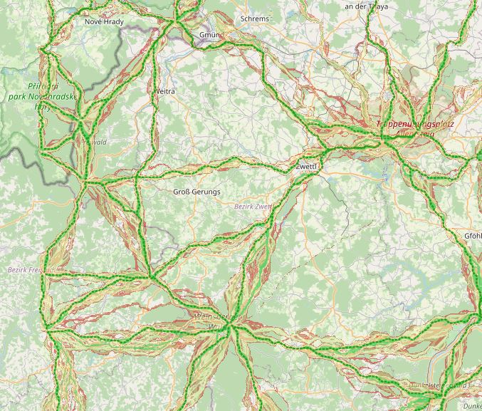
Wildcat Corridors Lower Austria
In spring 2019, the NP Thayatal GmbH commissioned the Büro für Wildökologie und Forstwirtschaft e.U. (Office for Wildlife Ecology and Forestry) to prepare a wildcat corridor plan in the Wald- & Weinviertel in Austria and the districts of South Bohemia and South Moravia in the Czech Republic as part of the Interreg project MaGICLandscapes.
For the study area in Austria and the Czech Republic, the habitat potential of the European wildcat is to be estimated in the form of a habitat model. Based on the habitat model, a corridor analysis will show the possible distribution routes of the cat.
As a further step, a strategy and action plan will be developed to provide a basis for improving and expanding migration corridors and thus dispersal opportunities for the wildcat along the green infrastructure. Within the framework of the MaGICLandscapes project, the research results serve as a basis for the planning, construction and management of green infrastructure. For the National Park Thayatal, they serve as input for the further procedure in wildcat management and are taken into account in the wildcat population support concept.
See further information: https://lebensraumvernetzung.at/publikationen/Leitner-2020-Wildkatzenkorridorplan-Endbericht-2021-04-19-web.pdf
Simple
Identification info
- Date (Creation)
- 2020-01-01
- Edition
- Version 1
- Purpose
- Securing corridors for the wildcat in Lower Austria
- Status
- Accepted
Originator
- Spatial representation type
- Vector
Spatial resolution
Equivalent scale
- Denominator
- 10000
- Topic category
-
- Biota
Extent
))
Extent
Temporal extent
- Time period
- 2020-01-01
- Maintenance and update frequency
- Not planned
- Keywords (Theme)
-
- Wildcat
- Keywords (Place)
-
- World
Resource constraints
- Access constraints
- Copyright
- Use constraints
- Copyright
- Other constraints
- Released for use. No parcel delineation
- Language
- English
- Character encoding
- UTF8
- Supplemental Information
- No parcel sharp delineation. Not suitable for intersection analyses with the cadastre
Distribution Information
- OnLine resource
-
WIldkatzendorridore (inklusive QGIS-Projekt)
Alle Daten zu den Wildtierkorridoren in NÖ. Mittellinie der Korridore & flächige Darstellung der Korridore (GeoTiff-Format)
Resource lineage
- Statement
- GIS-based designation of corridors for the wildcat in Lower Austria.
- Hierarchy level
- Dataset
Reference System Information
- Reference system identifier
- EPSG:25833
Metadata
- Metadata identifier
- urn:uuid/f1cfe817-925f-4592-938c-f1b54c5abdd1
- Language
- English
- Character encoding
- UTF8
- Language
- Français
- Language
- Deutsch
- Language
- Chineseutres
- Language
- Spanish; Castilian
- Language
- Arabic
- Language
- Russian
Point of contact
- Metadata linkage
- https://geonetwork.lebensraumvernetzung.at/geonetwork/srv/api/records/f1cfe817-925f-4592-938c-f1b54c5abdd1
- Date info (Creation)
- 2022-08-23T19:49:07
- Date info (Revision)
- 2026-01-27T09:00:20
Metadata standard
- Title
- ISO 19115-3
Overviews
Spatial extent
Provided by
