 Lebensraumvernetzung Geodata
DI Roland Grillmayer
Type of resources
Topics
Keywords
Contact for the resource
Provided by
Representation types
Update frequencies
status
Scale
-
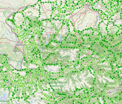
LRVA-2022: Current version of the integral dataset on habitat connectivity in Austria. This dataset takes into account all datasets and designations of habitat corridors from scientific projects and public sector projects (federal provinces). The dataset has been evaluated by the experts of the Cooridnation Platform "Habitat Connectivity Austria" and is updated as soon as new information and designations from projects are available. Further details are available in the endreport: https://docs.umweltbundesamt.at/s/AzZrHid6q9wkDDM
-
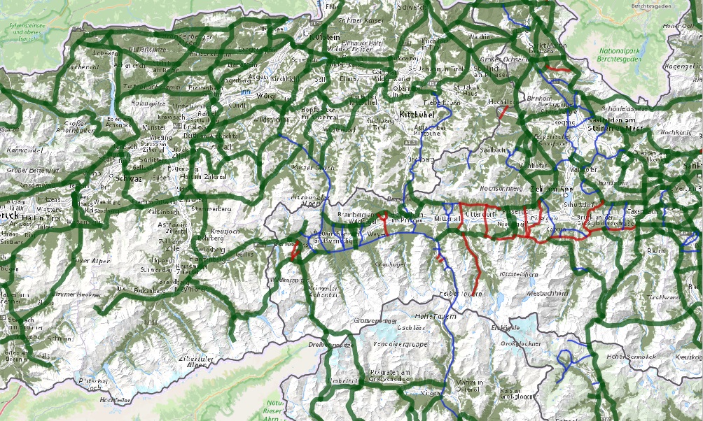
LRVA-2025: Current version of the integral dataset on habitat connectivity in Austria. This dataset takes into account all datasets and designations of habitat corridors from scientific projects and public sector projects (federal provinces). The dataset has been evaluated by the experts of the Cooridnation Platform "Habitat Connectivity Austria" and is updated as soon as new information and designations from projects are available. Further details are available in the endreport: https://docs.umweltbundesamt.at/s/AzZrHid6q9wkDDM As part of the update, the underlying data model was adapted. It is now possible to track all changes made during the update. All updated and valid habitat corridors can be obtained by selecting all edges that have the value “true” in the “valid” data set property. All edges with the value “false” are no longer valid. The reasons for the changes are noted in the ‘comment’ data record property. Most of the changes are so-called “technical changes.” As part of these changes, corridors have been adapted accordingly due to errors in the spatial location of existing crossing structures. The reclassification of corridors is due to new planned or adapted locations of wildlife crossing aids along the existing route. Description of the feature properties see feature catalog: https://geonetwork.lebensraumvernetzung.at/geonetwork/srv/ger/catalog.search#/metadata/e8044763-deb8-43d9-9d51-72b891fe5813 Data set download at: https://docs.umweltbundesamt.at/s/ep9JF44TjYxDY54, also includes QGIS project for direct use of the GPKG file. Two visualizations available. - Corridors classified by corridor category (supra-regional | regional | local) (see Quicklook) - Change layer: Current corridors and all outdated/revised corridor sections
-
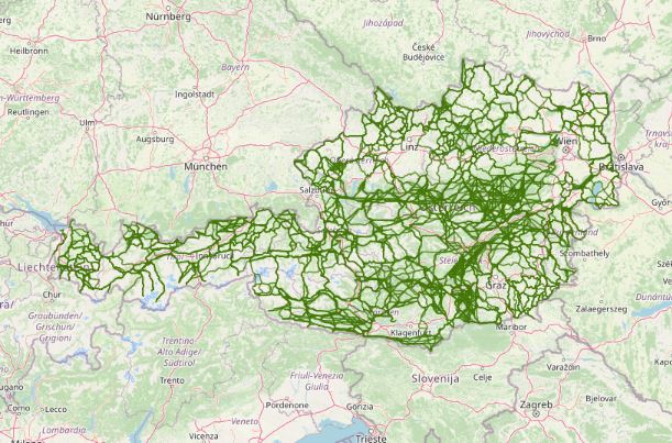
Austrian Ecological Corridors - final version. Valued by the experts of the federal provinces. Prepared in the framework of the LE project "Habitat connectivity to safeguard biodiversity in Austria".
-
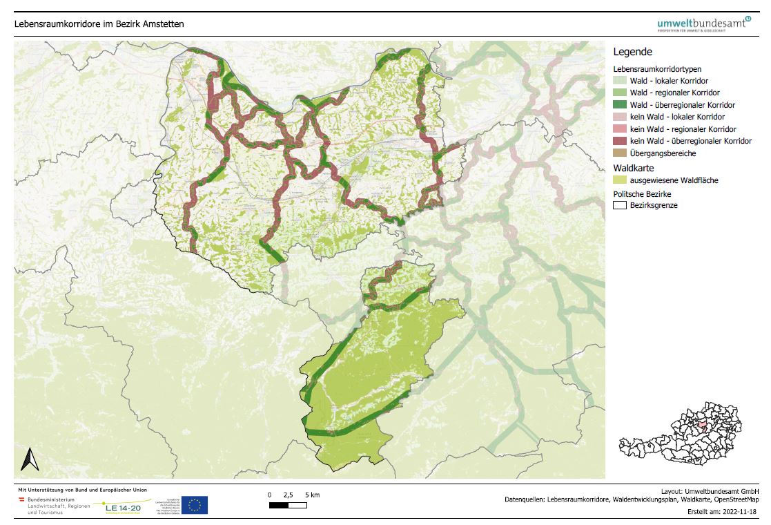
LRVA-2022: Generated standard map representation of the special topic maps for ecological corridors in Austria for the forest development plan. The maps are automatically updated as soon as the data basis (=modification of ecological corridors or modification forest mask from the Federal Forest Research Centre /BFW) changes. Details see also end report available: https://docs.umweltbundesamt.at/s/AzZrHid6q9wkDDM. QGIS-Modell for the maps generation available here: https://docs.umweltbundesamt.at/s/CjTNNLzPEKbNWyX